How Does the Agoura Village Plan Impact Downtown Agoura Hills?

Agoura Hills · Community Photo
How does the Agoura Village Plan impact the future of downtown Agoura Hills? Discover how the Agoura Village Specific Plan is turning Agoura Road and Kanan Road into a walkable, mixed‑use cultural and commercial hub while honoring the natural beauty of the Santa Monica Mountains.
Vision Overview
Agoura Village Specific Planoriginated from a long‑range planning effort launched by the City of Agoura Hills. It builds on theGeneral Plan 2035, which identified the Agoura Road and Kanan Road corridor south of Highway 101 as the city’s future focal point.
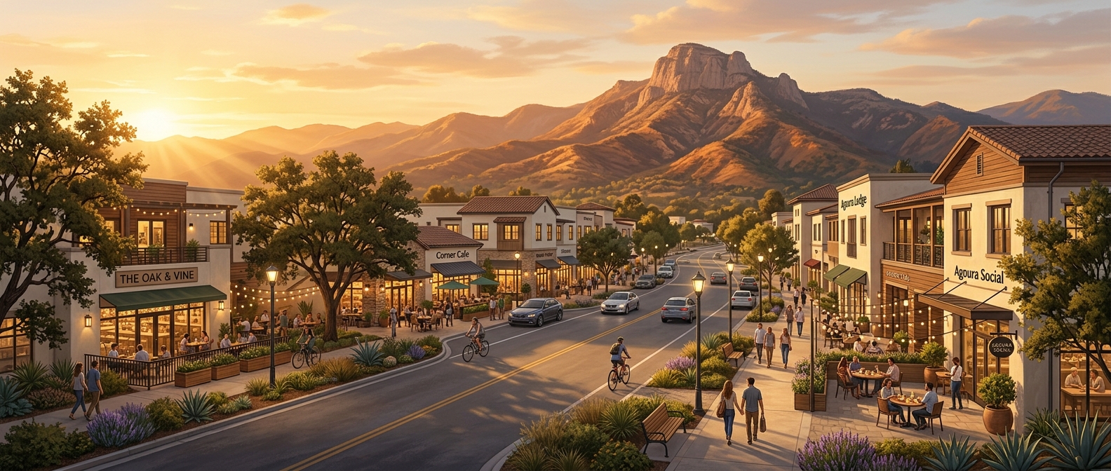
The plan replaces the traditional suburban strip‑mall layout and car‑centric design with avillage scale visionof human‑scale, walkable blocks. Streetscapes are intended to be active, with outdoor dining, boutique commercial spaces, and a mix of residential units.
Key Elements of the Plan
Pedestrian‑friendly mixed‑use development along Agoura and Kanan Roads.
350 residential units overall, including 44 units reserved for very low‑income households and 54 homes earmarked for working‑family workforce housing.
Projects such as West Village (mixed‑use), the Regency residential project (former theater site), and a 120‑room boutique hotel with retail and office space.
Ladyface Greenway linear park to preserve open space and provide a connective green corridor.
By concentrating retail, dining, lodging, and housing in a compact footprint, theAgoura Village plancreates a true civic core fordowntown Agoura Hills. This shift helps the city move from reliance on automobile traffic to a more walkable, community‑oriented environment.
For further details, see the City’sSpecific Plans pageand theGeneral Plan 2035overview.
Agoura Road Redevelopment Agoria Hills Development Projects
Project Name | Location / Footprint | Proposed Land Use | Key Highlights & Amenities | Community Impact |
|---|---|---|---|---|
West Village Mixed‑Use Project | Agoura Road corridor (south of Highway 101) | Mixed‑use residential with ground‑floor retail | Artisan dining and a public plaza | Advances the AVSP vision of a pedestrian‑friendly downtown and supports local‑business vitality |
Regency Housing Redevelopment | Former movie‑theater site on Agoura Road | Modern multi‑family residential | Residential amenities and pedestrian integration | Contributes new housing units within the AVSP area, helping achieve mixed‑use density goals |
Dedicated Workforce & Affordable Housing Community | Site within the Agoura Village Specific Plan area | Workforce‑affordable housing (54 homes for working families) | Two‑ and three‑bedroom apartment units | Meets city housing‑element mandates and expands affordable options for families while aligning with the General Plan 2035 objectives |
Balancing Housing Mandates and Community Preservation
The Agoura Village Specific Plan (AVSP) translates California’s Regional Housing Needs Allocation (RHNA) requirements into a focusedmixed‑use densitycorridor along Agoura Road and Kanan Road. By concentrating new residential units, retail, dining, and boutique lodging within this linear hub, the plan protects surrounding low‑density neighborhoods and preserves the scenic view corridors of Ladyface Mountain while delivering the housing choices the state calls for.
Key components include:
Workforce housing that provides54 homes for working familiesand sets aside44 units for very‑low‑income households, directly contributing to RHNA affordability goals.source
A planned mix of 350 residential units—including two‑ and three‑bedroom apartments—integrated with retail, restaurant, and office space, ensuring that new density is channeled along the designated corridor rather than spreading into established neighborhoods.source
Preservation clauses that require developers to retain natural mountain views and protect open space, aligning with the city’s environmental objectives outlined in the General Plan 2035.source
Urban planning strategies that prioritize pedestrian connectivity, walkable streetscapes, and transit‑oriented design, reinforcing a compact downtown feel without sacrificing the suburban charm of the broader community.
Through these measures, the AVSP demonstrates howcity developmentcan meet state housing imperatives while honoring the unique character of Agoura Hills.
Pedestrian connections aid environmental preservation, Agoura
Ladyface Greenway Linear Park: Dedicated Multi‑Use Corridor
Greenwayserves as anecological bufferprotecting the city’s waterways and wildlife corridors.
It also functions as apedestrian thoroughfare, offering a safe, car‑free route for walkers, cyclists, and residents.
Learn more on the official Greenway page.
Design Highlights
Our downtown Greenway weaves together native, drought‑tolerant plantings with thoughtfully placed shaded benches, decorative water features, and pocket open spaces.
Indigenous drought‑tolerant flora that reduces irrigation demand.
Shaded benches offering rest points for walkers.
Decorative water features that provide visual interest and micro‑climate cooling.
Pocket open spaces that encourage spontaneous gathering.
These elements contribute to environmental preservation by supporting local ecosystems and limiting water use. The continuous layout creates strong pedestrian connections, linking neighborhoods and commercial districts throughout the city center.
Connecting Communities, Protecting Nature
The Ladyface Greenway creates a seamless, walkable link between neighborhoods while protecting local ecology, embodying the AVSP’s broader urban planning goals.
Multimodal Trails & Pedestrian Plazas in Agoura Hills
Wide sidewalksinvite pedestrians to linger and enjoy street life.
Protected bike lanesgive cyclists a safe, dedicated space free from vehicle traffic.
Enhanced crosswalksprioritize foot traffic, slowing any remaining motor movement.
Spacious public courtyardscreate inviting open areas for community gathering and recreation.
Together, these features weave a seamless, car‑free environment where walking, cycling, and social interaction thrive.
Discover how the AVSP transforms streetscapes
Key Design Elements
Wide sidewalks
Protected bike lanes
Enhanced pedestrian crosswalks
Public courtyards
The design creates continuous pedestrian connections throughout the village. These elements also align with the broader urban planning objectives of the AVSP.
A Walkable Future for Downtown
The new multimodal network encourages active transportation, supports local businesses, and reflects the AVSP’s vision for a mixed‑use, walkable downtown. It is a direct result of intentional urban planning that prioritizes connectivity and community well‑being.
Scenic Views & Foothill Protection
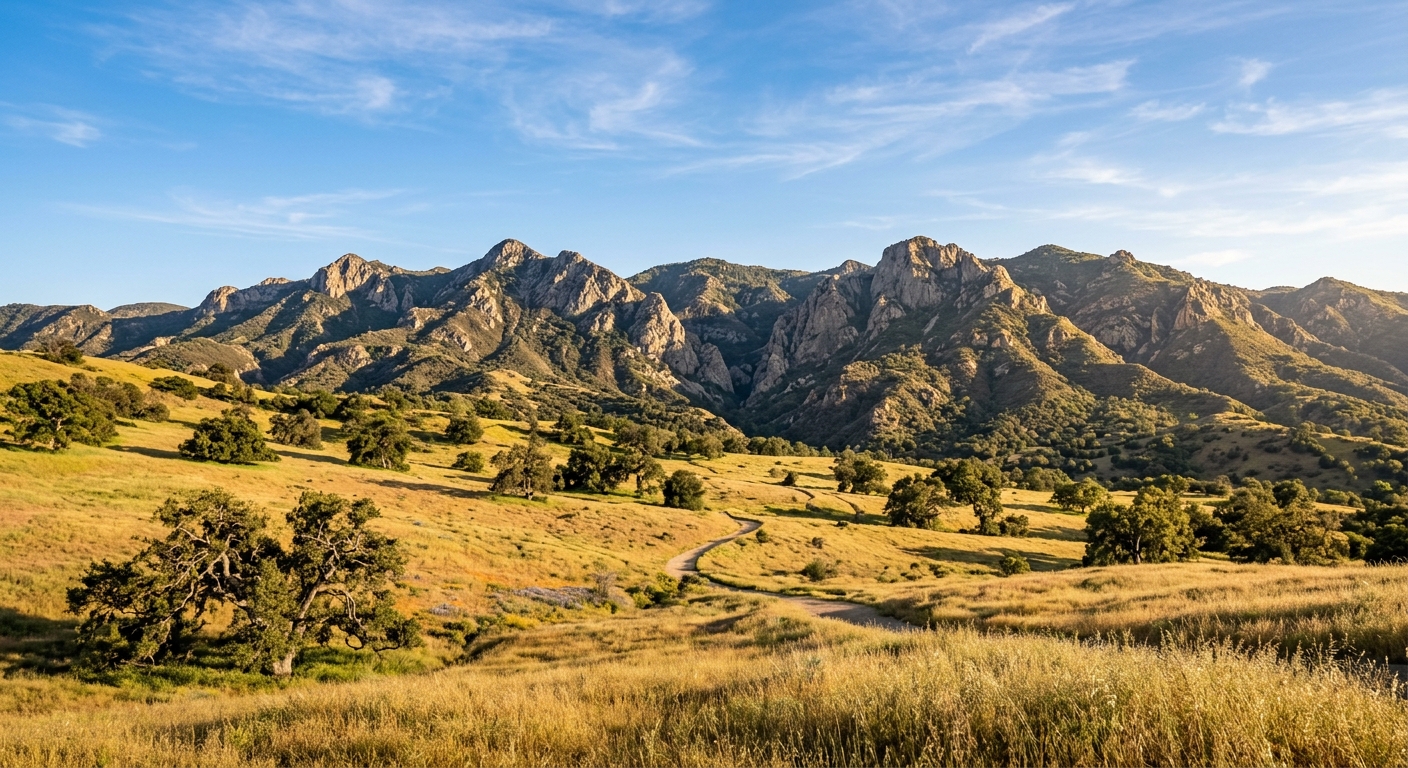
Protecting the silhouette of Ladyface Mountainis the keystone of the Agoura Village Specific Plan’s vision for a walkable, mixed‑use downtown.
By preserving the mountain’s iconic profile, the plan creates alasting visual anchorthat connects residents and visitors to the natural landscape while encouraging streetscape design that is human‑scaled and inviting.
The mountain’s silhouette frames the town’s public plazas, boutiques, and cafés, reinforcing a sense of place that supportswalkabilityand promotes local businesses thriving within a vibrant, pedestrian‑friendly environment.
In short, safeguarding Ladyface Mountain ensures that the downtown’s growth remains rooted in the community’s unique heritage, making the area bothdistinctiveandlivablefor generations to come.
Height restrictions that limit building scale to protect mountain views.
Terraced, low‑profile architectural massing that steps down toward the foothills.
Natural earth‑toned palettes that blend structures with the surrounding landscape.
The design elements reflect the AVSP’s commitment toenvironmental preservationand align with the broader objectives of the General Plan 2035. These strategies also supporturban planninggoals by integrating sustainable form with the regional landscape.
Key Takeaway
Enforcing height limits and selecting earth‑tone materials helps new development blend with Ladyface Mountain, preserving scenic views while reinforcing sustainable urban planning principles.
Multimodal Trail &
Open‑Space Connectivity Network
Linking the Agoura Road Promenade, Ladyface Greenway, Medea Creek,
and the Santa Monica Mountains trailhead system.
The AVSP is a long‑term vision to transform the Agoura/Kanan corridor into a walkable, mixed‑use village centered on pedestrian connections.
The plan is anchored in pedestrian connections that knit together shops, plazas, housing, and natural amenities along the corridor.
General Plan 2035 reinforces the vision by integrating environmental preservation around Ladyface Mountain and promoting pedestrian connectivity.
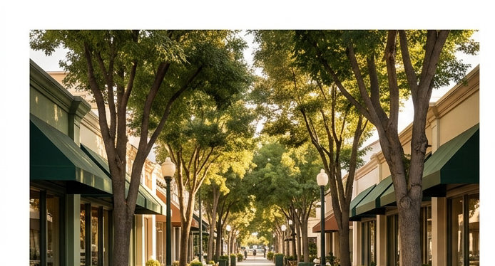
Agoura Road Promenade
The main pedestrian spine, linking central village plazas, outdoor seating, and retail frontages along the Agoura/Kanan corridor.
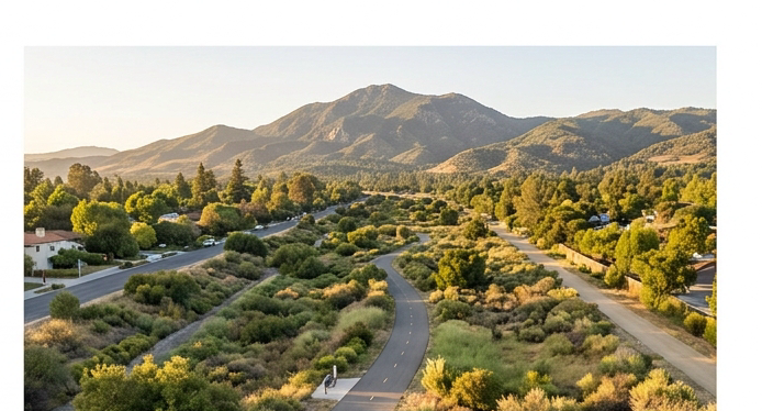
Ladyface Greenway
A continuous east‑west linear park providing a walking‑and‑biking path while preserving native open‑space buffers across the corridor.
Village Plazas
Central plazas with outdoor seating and retail frontages branch off both the Promenade and Greenway, creating vibrant pedestrian‑first public spaces.
Community Development, Real Estate, Local Business Vitality
Economic Renaissance in Agoura Village
The Agoura Village Specific Plan (AVSP) envisions a walkable, mixed‑use hub along the Agoura Road and Kanan Road corridor, anchoring a new downtown district that blends residential, retail, dining, and professional services. By concentratingreal estate developmentin a compact footprint, the plan creates a critical mass of residents and visitors whose daily movements become foot traffic rather than car trips.
When pedestrians can shop, dine, and work within a few blocks, consumer spending is retained inside Agoura Hills instead of leaking to neighboring cities. Independent restaurateurs, boutique retailers, wellness studios, and professional service firms all benefit from a steady stream of nearby customers who no longer need to drive elsewhere for routine purchases.
Key projects such as the West Village mixed‑use complex, the Regency residential redevelopment, the Ladyface Greenway linear park, and dedicated workforce housing contribute up to350 residential units—including44 units reserved for very low‑income householdsand a separate118‑apartmentcomponent with a120‑room hotel. These densities support a vibrant street life and generate demand for a variety of local businesses.
Higher foot traffic sustainslocal business vitalityby increasing sales per square foot for restaurants, shops, and service providers.
Walkable design boosts property values, as homes and commercial spaces become more desirable when amenities are within easy reach.
Stable tenant mixes reduce vacancy risk, giving landlords confidence to invest in quality improvements and landlords to offer longer‑term leases.
Enhanced pedestrian connections encourage community events, which in turn fuelcommunity developmentinitiatives and the growth of neighborhood platforms that link residents with local offerings.
Beyond economics, the plan integrates environmental stewardship around Ladyface Mountain, preserving open space while promoting density—a balance that underpins sustainablecity development. The resulting ecosystem of residents, visitors, and thriving enterprises creates a self‑reinforcing loop of growth, positioning Agoura Hills as a model for small‑city revitalization.
Harness the Momentum of Downtown Agoura Hills
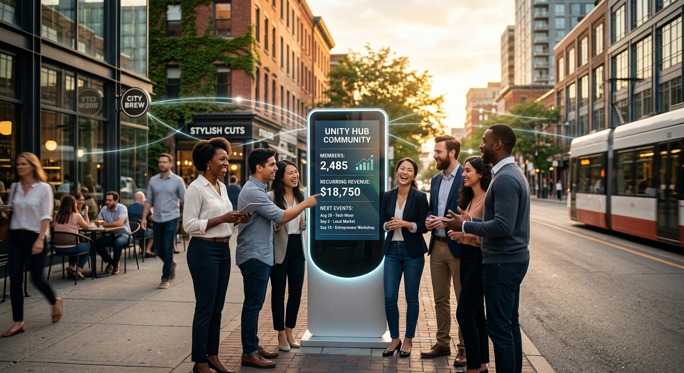
As the Agoura Village plan creates a vibrant, pedestrian‑friendly downtown core, community development is poised to accelerate. Local entrepreneurs and neighborhood connectors can capitalize on this shift by launching a digital hub that brings together businesses, events, and residents. Such a platform fuels local business vitality, enhances community networking, and offers a sustainable revenue stream for the operator.
What Is Being Built in Agoura Hills? Agoura Hills Zoning
What is being built in Agoura Hills? The Agoura Village Specific Plan envisions a cohesive mix of pedestrian‑oriented residential buildings, ground‑floor boutiques, artisan restaurants, outdoor public plazas, boutique hotel lodging, and the Ladyface Greenway linear park along Agoura Road.
Key active projects include the West Village mixed‑use development and the Regency theater‑site residential transformation, each designed to create a walkable, mixed‑use town center.
The plan incorporates strict Agoura Hills zoning controls, including height restrictions, architectural design standards, terraced building footprints, and protected view corridors to ensure new development never overshadows Ladyface Mountain or the natural ridgelines of the Santa Monica Mountains.
Extensive greenbelts, bioswales, and native landscaping are required for every site, preserving open space and supporting the environmental goals of the community.
In alignment with California state housing mandates and the General Plan 2035, the AVSP includes dedicated workforce housing and affordable housing components.
Approximately 54 homes are earmarked for working families, providing options for teachers, healthcare professionals, first responders, and other service workers.
Additional units, such as the 350‑unit mixed‑use development with 44 very‑low‑income units, further expand affordable choices.
These housing elements aim to keep essential workers close to transit, civic amenities, and local employment centers.
The village scale vision is realized through a phased, parcel‑by‑parcel approach. Private landowners and developers advance projects subject to city design reviews, environmental impact assessments, and public hearings.
Several major projects are already moving through planning and construction stages, but the overall timeline depends on individual project approvals and implementation.